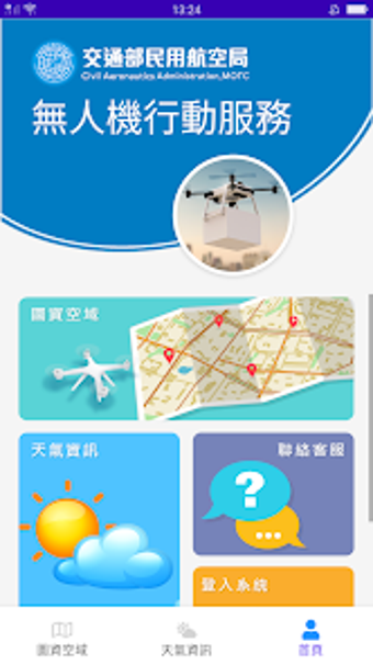
Drone Map 2.0 - A Comprehensive Drone Airspace Query System
Drone Map 2.0 is a travel and navigation app developed by 關貿網路股份有限公司. It provides users with a comprehensive drone airspace query system, integrating data from the Civil Aeronautics Administration (CAA) of the Ministry of Transportation and Communications, as well as city and county governments.
The app serves as a reference tool, offering information on various zones and areas related to drone flight restrictions and regulations. These include no-fly zones, restricted areas, and certain distances around airports and airfields, as announced by the CAA and local governments. It also highlights areas subject to other regulations such as national park laws and harbor laws, which users are advised to consult with relevant authorities for further information.
Drone Map 2.0 ensures that users comply with the Civil Aeronautics Act, Remote Unmanned Aircraft Systems Management Rules, and other relevant regulations when engaging in drone flight activities within designated areas. The app allows users to click on any location on the map to view detailed information or use the search bar in the top left corner to input addresses or coordinates for easy access to relevant data.
Please note that the information provided in Drone Map 2.0 is based on data announced or provided by the Ministry of Transportation and Communications, Ministry of National Defense, CAA, and local governments before December 28, 2022.